

Maps
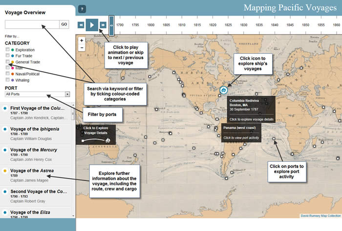
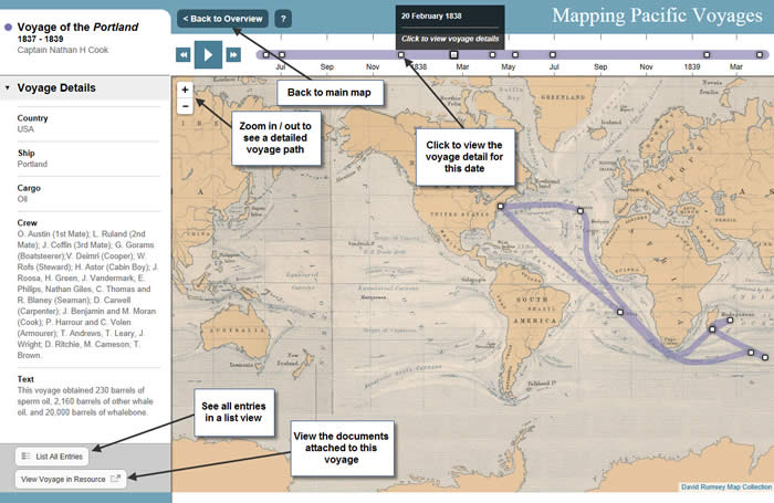
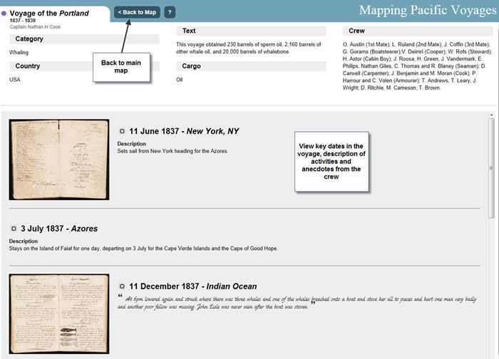
The animated maps in China, America and the Pacific chart the voyages made between America, China and other ports around the world. Explore the different voyages, discover the types of cargo bing carried and read about the crew's experiences during their journeys.
An accessible version of the map provides a timeline of each voyage.
Next: Visual Resources
Previous: Chronology